SEE THE SCALE

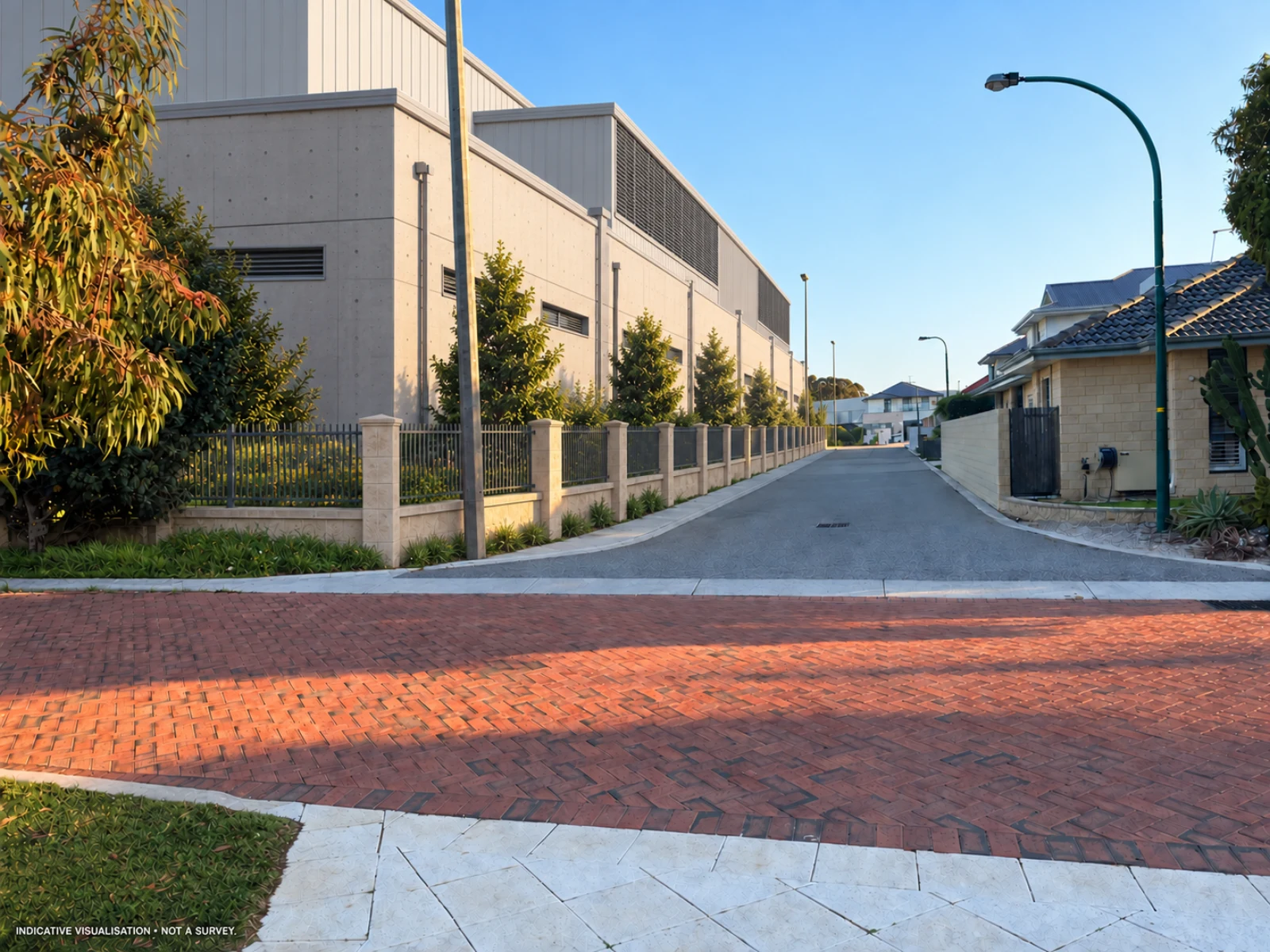
The corrected stepped building volumes

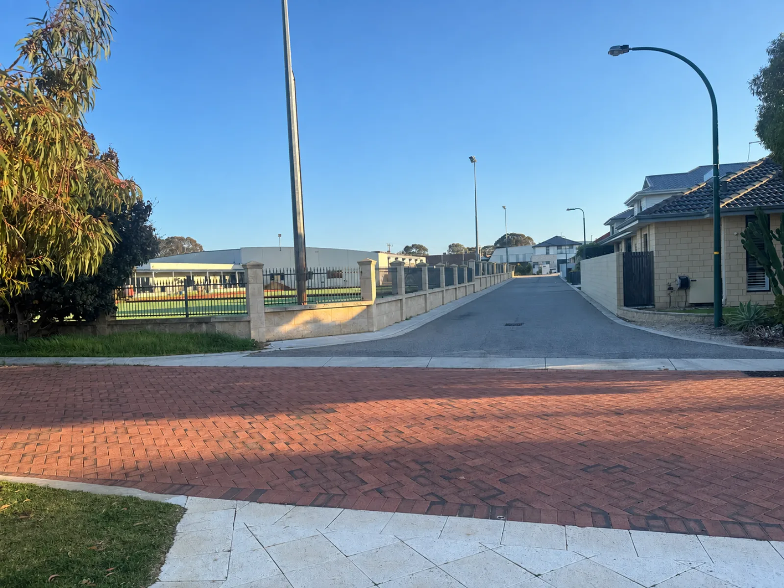
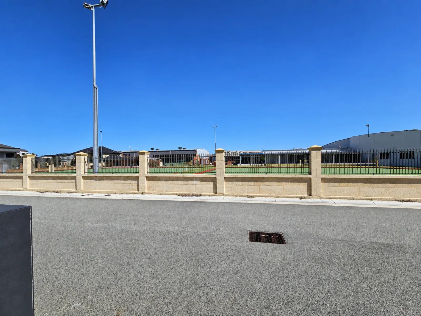
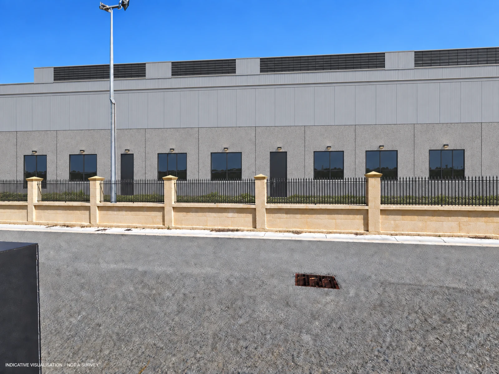
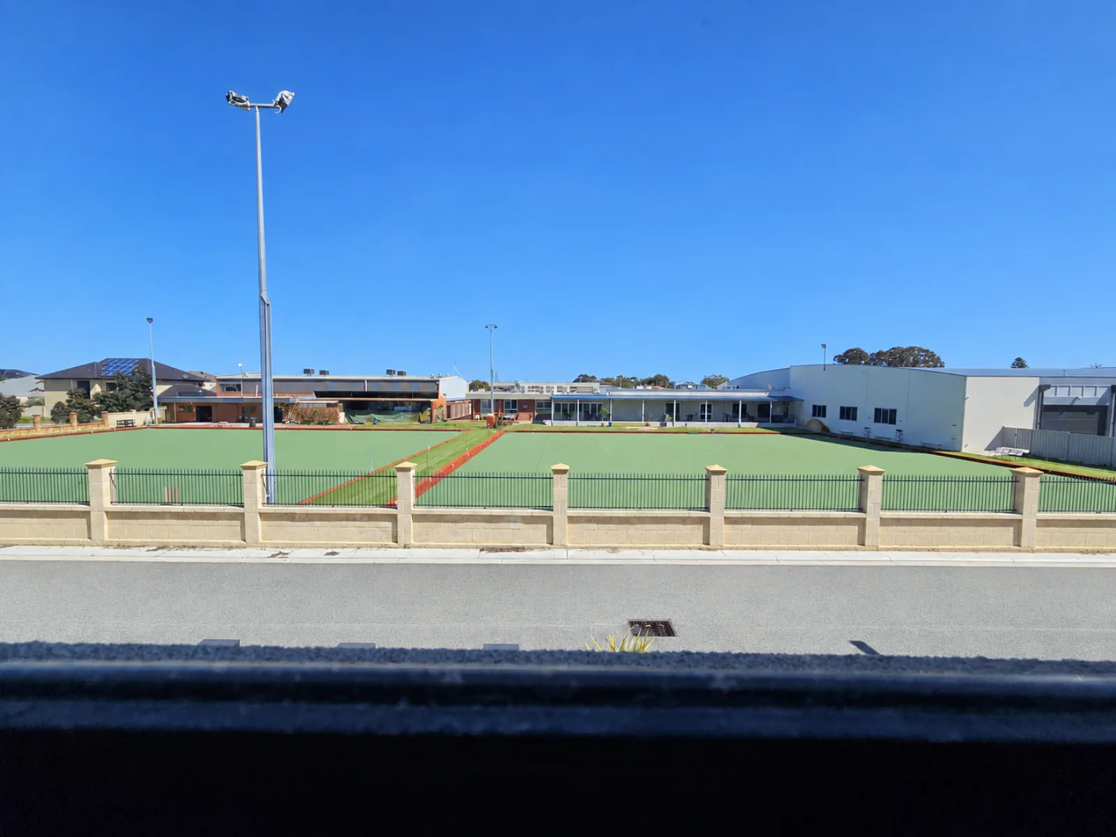
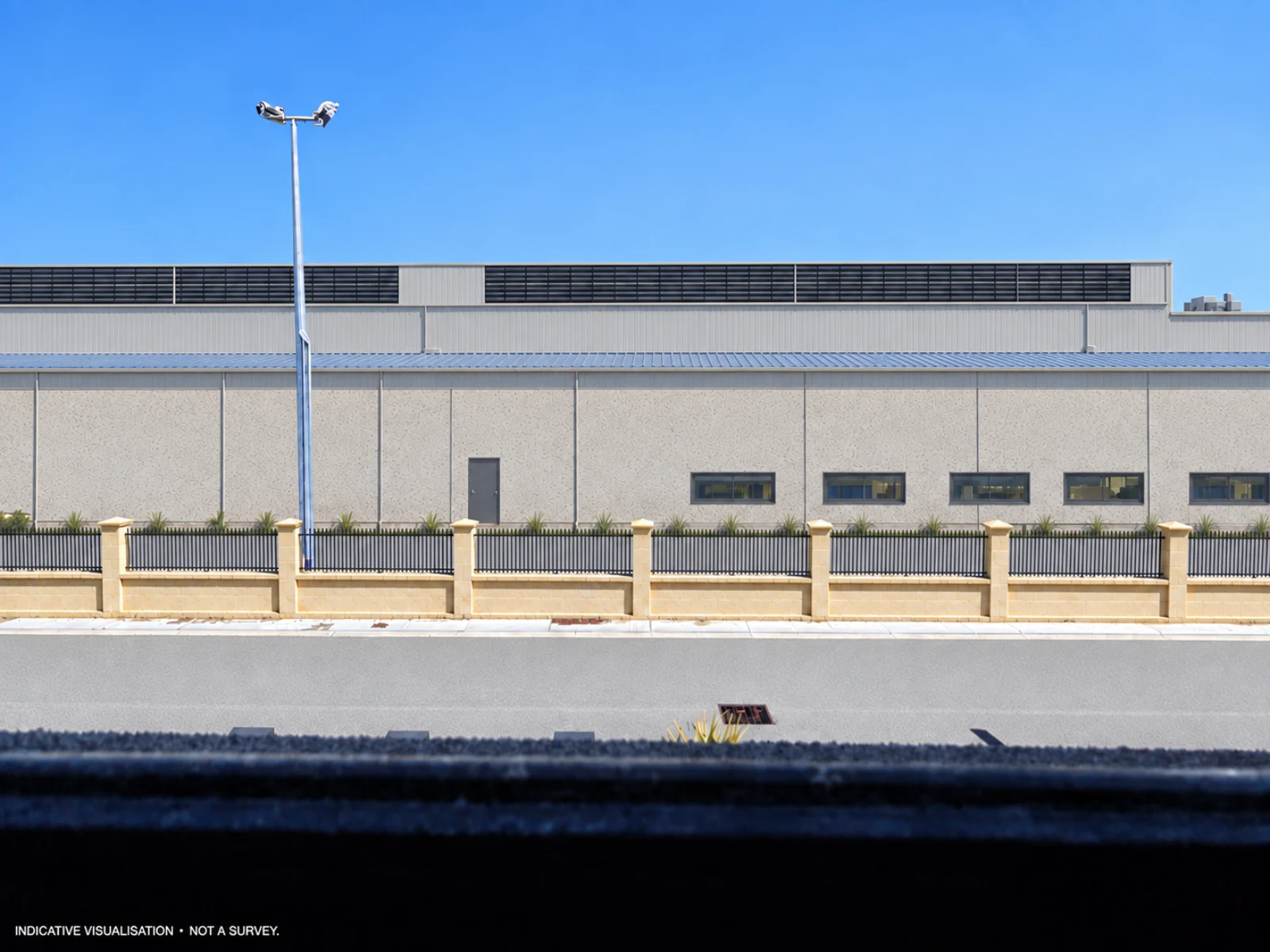
These views distinguish the lower eastern edge from the taller main roof behind it. They are indicative visualisations, not surveyed photomontages.

WHAT IS FIXED

Based on the applicant's dimensions

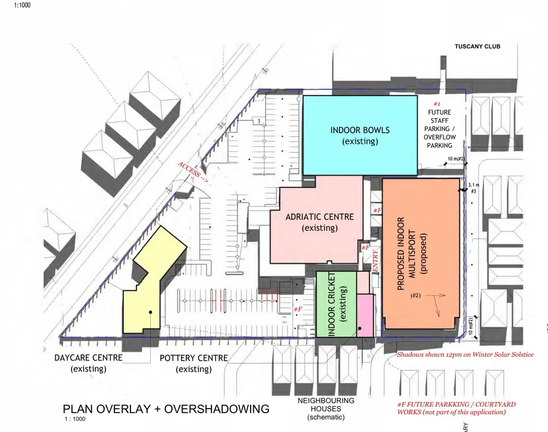
The visualisations use the photographed viewpoints, the existing 2 metre boundary, the 3.1 metre eastern setback and the stepped levels marked on drawing A20.

Important: These are explanatory mockups. They are not survey work and should not be used to claim an exact line of sight, shadow position or finished appearance.
Roof direction: Drawing A20 shows about 6.4 metres to the eastern eave, about 6.8 to 7.3 metres at the lower eastern roof, about 10.1 metres at the eastern side of the main roof, and about 12.1 metres at its western high point.

CHECK THE APPLICANT'S DRAWINGS

Check the orientation and size for yourself

These are the two drawings used to set the building position, roof direction and marked heights in the mockups.

DRAWING A20

Building elevations

Use the north and south elevations to check the stepped eastern and main roof volumes. Use the east elevation to check the length and street-facing form.

DRAWING A07

Height and site overlay

Use the plan to check the building position and eastern setback. Use the enlarged height diagrams to compare the building with neighbouring houses.